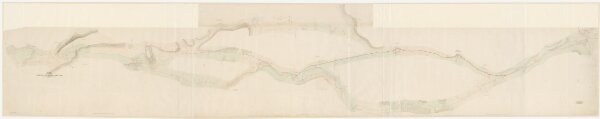
Seebach bis Weiach: Projektierte Strasse von Seebach über Rümlang, Niederhasli, Oberglatt, Niederglatt, Höri, Neerach und Stadel bis Weiach; Situationsplan
ArcGIS, QGIS or web apps can simply
use this map with web map services.
WMTS, TileJSON or XYZ tiles
are provided for quick access to processed maps.
Sign in to get links.