Staatsarchiv des Kantons Zürich
ArcGIS, QGIS or web apps can simply use this map with web map services. WMTS, TileJSON or XYZ tiles are provided for quick access to processed maps.
Sign in to get links.
Sign in to download GeoTIFF.
Overlay & compare
iiif viewer, iiif info json
Website
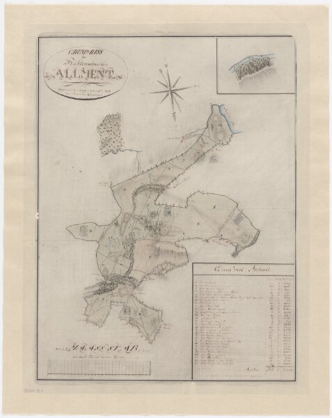
Richterswil: Allmend; Grundriss
PLAN_B_1
Maps
From 1808-01-01 to 1808-12-31
Diezinger, Rudolf (1770-1847), Geometer, von Wädenswil, in Wädenswil
48.5 × 60.7 cm
1 : 6000
300